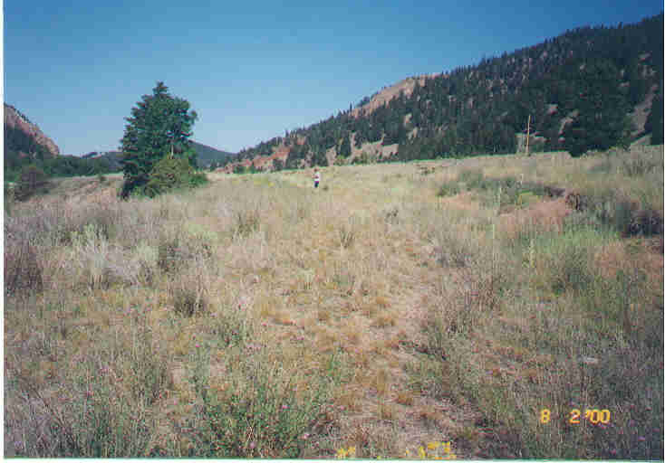
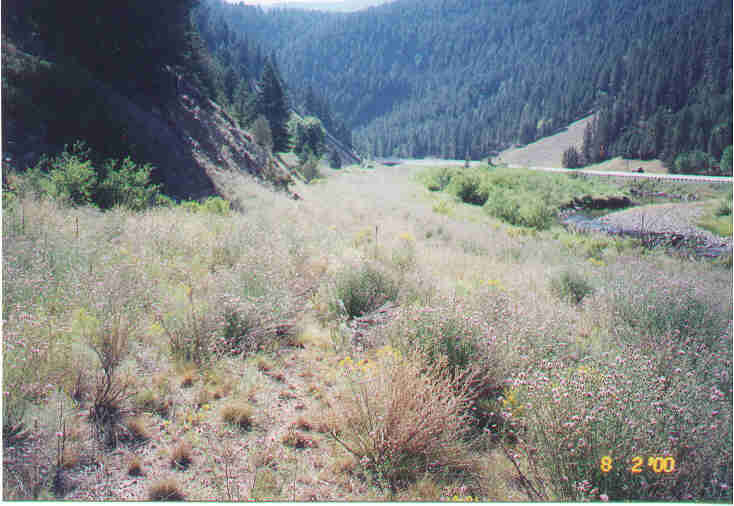
The photos below (years 2000 and 2005)
show the long term effects of
Cyphocleonus weevil damage to
knapweed. Note how the knapweed is decreasing in density and the
native grasses and forbs are returning to the site. There is
still much knapweed at the site however, it is mostly smaller
plants. The larger plants are killed by the weevils. The
seedhead weevils
Larinus, along with the
Urophora gall flies are
probably also
contributing to this decrease in knapweed seeds in the soil seed
bank. There are a few
Agapeta boring the knapweed
roots at this site also.


